AWARD: ASLA HONOR AWARD 2017
While employed at SWA Group
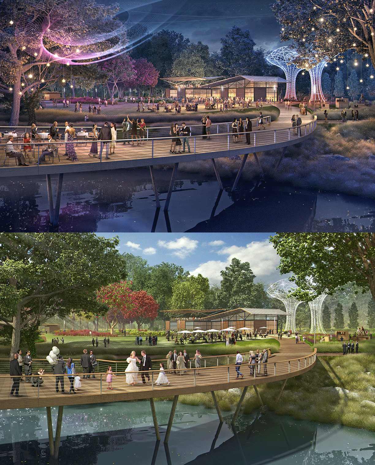
The Bend of the River Botanic Garden Master Plan envisions a spectacular community gathering place set amidst a regionally significant botanic garden. The design for the 88-acre site synthesizes site contamination cleanup issues with the design and construction of the gardens. The Master Plan enhances the historic communal uses of the former ranch site while expanding the programming opportunities and creating a strong vision for integrating botanic programming with restoration of the native ecosystem and amplifying the cultural milieu of central Texas and the City of Temple.
LOCATION
Temple is midway between San Antonio and Dallas, and the Bend of the River site is located at the southeast quadrant of the intersection of interstate I35 and the Leon River. The site is composed of two parcels separately donated to the City of Temple and consolidated into a single property. The site exists within the Blackland Prairie ecosystem of central Texas, and community members expressed a strong desire for the use of native plants on the site to restore the ecology from its current conditions of mowed turf and agricultural uses. Native prairie and forest systems will structure the overall site to create habitat, provide legibility for the major circulation systems, and ensure low maintenance, while the actual garden collections will feature more colorful and exotic collections typical of a botanic garden that will draw the public. Culturally, Temple was established as a railroad town and has become a major stakeholder in the healthcare and bioscience industries, and to this end the plan provides many opportunities to promote healthy lifestyles, learning, research, cultural enrichment, and leisure activities.
SITE CONTAMINATION
The west (30-acre) parcel, a ranch donated by the Talasek family, has topsoil contaminated with arsenic and antimony that were aerially deposited over a number of years from the Rockwool Industries site southeast across the river. This parcel, adjacent to the freeway, has been frequently used for community events over the years, and is the obvious location for large events for the public in the botanic garden plan because of its accessibility to the freeway and its flat topography. The Master Plan provides two options for dealing with the contaminated soils: full removal or cap-and-cover, depending upon funding. Phytoremediation is not an option given this type of contamination, especially paired with the clients' desires to quickly clean up the site. The Master Plan considers the worst-case scenario of keeping the contaminated soil on-site in a cap-and-cover mound, finding creative methods by transforming the mound to facilitate experiences.
FRAMEWORK DIALOGUE
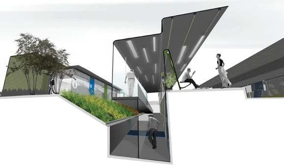
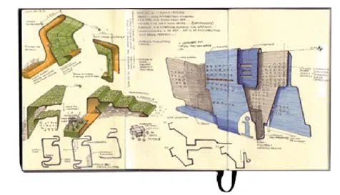
The Master Plan creates a design language transforming challenges of contaminated soils into a method of spatially structuring the site. It was paramount to resolve the contaminated zone and furthermore, exercise the creative capacity of the remediation strategy toward the programming language of the greater site. The plan finds opportunities within the remediation strategy of the cap-and-cover mound. The mound is positioned and composed to maximize both internal and external relationships to the Botanic Garden. The mound, parallel to the freeway edge, creates a sound barrier to the interior of the site while also creating a striking and artful land form that emphasizes garden entry at a vehicular visual scale. The citywide bike path can be integrated to the north edge of the site, further offering cyclists an elevated perspective into the gardens as they bike along the top of the mound in this vast flat landscape.
The natural topographical character, existing forest and lake were each a key subject of preservation and ecological restoration – and valuable as authentic zones that pair with a Native Nature Walk zone, that anchors the framework for the Master Plan. These paths array along the native contours of the site that leverage the natural exhibition of local biodiversity, and provide complementary programs, such as Bird Blinds, an Elevated Canopy Walk, and a Native Nature Walk that celebrates native species. The Garden Collections are organized within this Native framework, allowing the gardens to punctuate, lead, and define a unique pace to the experience of the site. This framework serves as a scenic backdrop for the gardens, with rotating collections that offer continual visual interest throughout the year, while providing opportunities for visitors to socialize, exercise, relax and learn in a beautiful setting.
PUBLIC ENGAGEMENT
The Master Planning process involved educating the public about the contaminated soils on-site and options for cleanup, potentials for programming and garden collections, and coordinating the cleanup of the contaminated soils with the phasing of the construction of the botanic garden plan. The public engagement process reinforced the expressed desires of retaining the community gathering functions of its previous use while simultaneously expanding its potential as a regional draw for events, weddings, passive recreation, and the performing arts. A series of four public meetings encouraged the public to dream about the possibilities of their future garden site while communicating the opportunities and constraints of the site design, and gather feedback on the draft plan for refinement for the public presentation of the final Master Plan.
IMPLEMENTATION
A path to full build-out of the plan was created that aligns the required site disturbance for the contamination cleanup to coincide with the first phase of construction. This first phase will simultaneously continue the use of the site for community gathering by providing an event lawn for concerts and performances, plaza space and multi-use building and also look to the future by introducing the first gardens and associated maintenance and trial grow areas. The second phase can develop over time as funding allows the implementation of individual gardens. The third phase involves enhancing the large wooded area on the eastern portion of the site with a canopy walk and more trails and gardens. The final phase includes an arboretum and the possibility of relocating the maintenance and trial grow areas to the east of the site if there is demand for additional parking in those locations from the first phase.


